Blackthorn Rural Services
Rural Intelligence
Delivered from Above.
Professional drone surveys, thermal imaging and rural consultancy for farms, estates, landowners, insurers and rural businesses. Delivering accurate data, actionable insights and dependable results across the UK.
More than a Survey.
At Blackthorn Rural, our goal is to provide the accurate information you need to make confident decisions. By combining advanced drone technology, thermal imaging and practical rural expertise, we deliver clear, reliable insights that help landowners, farmers, estate managers, insurers and rural businesses save time, reduce costs and manage their land more effectively. Whether identifying wildlife, assessing infrastructure, monitoring livestock or supporting insurance claims, our surveys provide actionable data that improves safety, efficiency and long-term decision-making. Every project is tailored to your objectives, ensuring you receive meaningful results—not just images, but intelligence you can rely on.
Our Services.
See What the Eye Cannot…
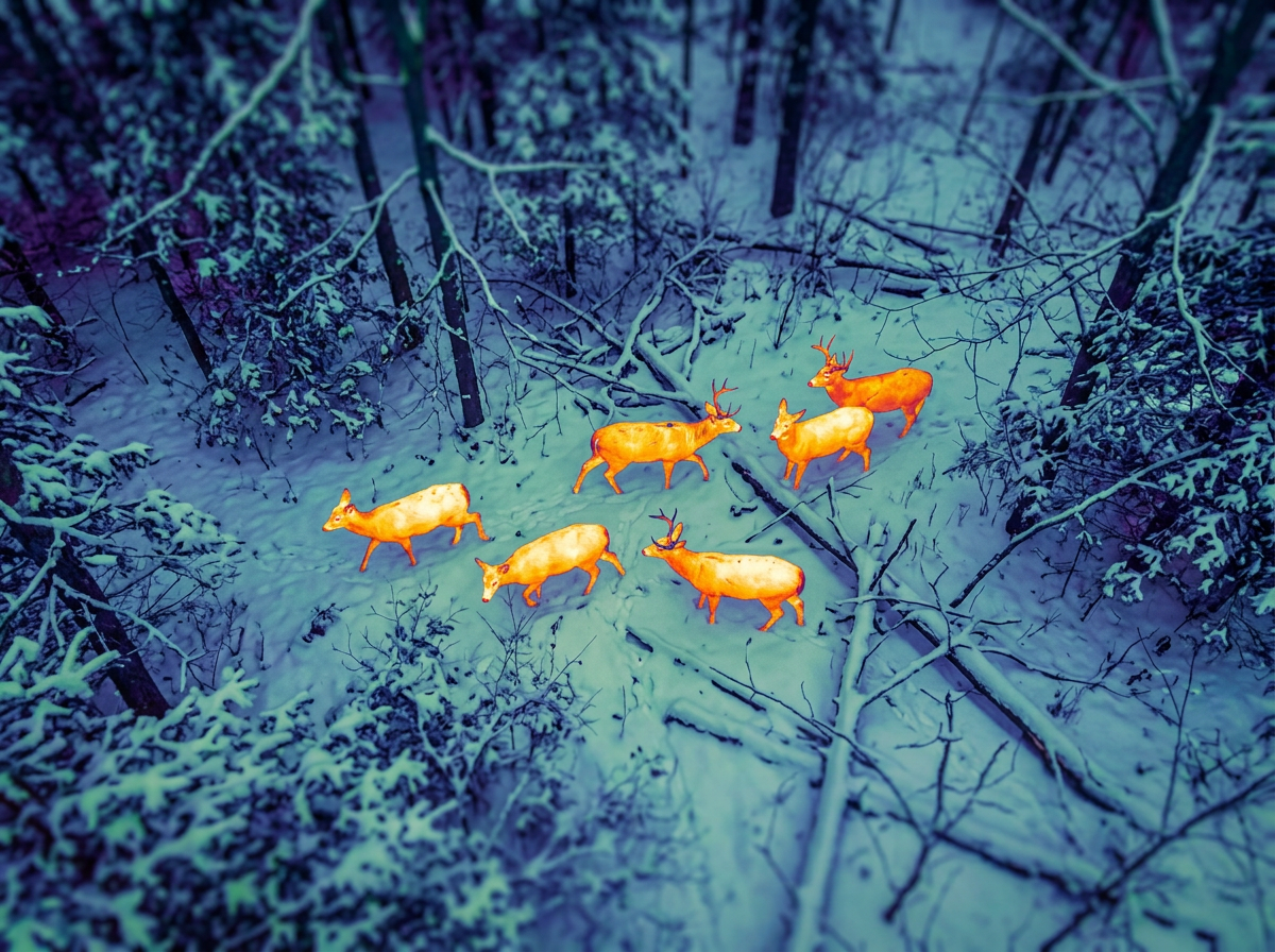
Thermal imaging has transformed the way landowners, farmers and estate managers understand and manage their land. Using professional-grade thermal drone technology, Blackthorn Rural can identify heat signatures that are invisible to conventional cameras, allowing surveys to be completed quickly, safely and with minimal disturbance.
Thermal surveys are ideal for locating wildlife, monitoring livestock, inspecting buildings, and identifying issues before they become costly problems.
Our Thermal Surveying Services
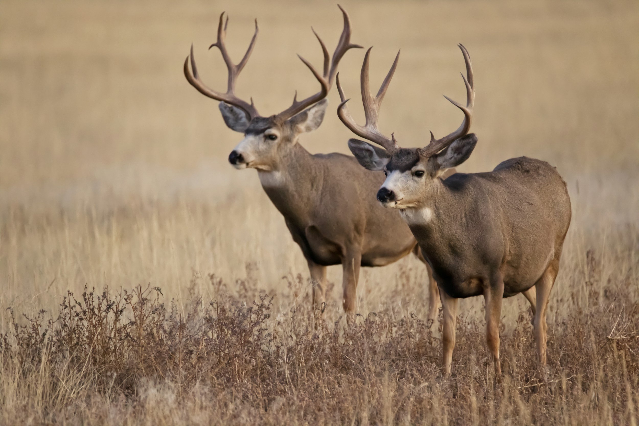
Deer population surveys
Wildlife and habitat monitoring
Livestock location and welfare checks
Fawn and ground-nesting bird identification
Heat loss inspections of rural buildings
Search and recovery operations
Night-time estate monitoring